VARYING TRAVEL FEES APPLY TO SEDONA LOCATIONS DEPENDING ON TIME OF YEAR AND DAY OF THE WEEK


Crescent Moon Ranch Picnic Site
Location: 333 Red Rock Crossing Rd, Sedona, AZ 86336
Entry fee: $15 per car
These photos were all taken in October on a partly cloudy day. This location is a great combination of grass, water, forest, and mountain views of Cathedral Rock. All locations are an easy, flat walk, with a little bit of creek hopping depending on water levels. Sometimes I recommend to bring an extra pair of shoes just in case! As with all Sedona locations, the parking lot fills quickly on weekends and will be closed to traffic thereafter.


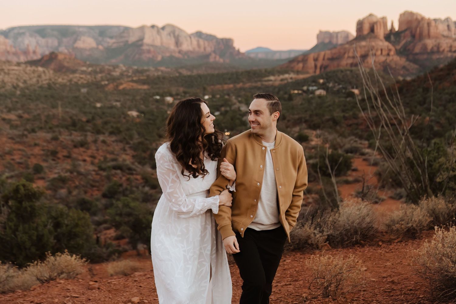
Bell Rock Trailhead
Location: AZ-179, Sedona, AZ 86336
Entry fee: $5 per car (Red Rocks Pass)
One of a few pull offs on the scenic byway, this trail is a short hike to the base of Bell Rock giving you the most iconic, unobstructed 360 views (in my opinion) of any stop. This hike is about 7-8 minutes down a mostly flat trail. There are a few steps up and down, but are passable in sandals.


Little Horse Trailhead
Location: AZ-179, Sedona, AZ 86336
Entry fee: $5 per car
This is an easy pull off on the road near the start of the Bell Rock Pathway. The sun will set on your right hand side of Bell Rock, which makes for super glowy orange colors and great dimension. This lot has limited parking, but has the secondary option of the Sedona Shuttle that runs Thursday through Sunday (there's no fee for the park and ride location listed here).


Tlaquepaque Arts and Shopping Village
Location: 336 AZ-179, Sedona, AZ 86336
Entry fee: $150 permit reserved in advance
There's really nowhere else like it — this unique little gem in Sedona is heavily trafficked most times of year, but is well worth the crowds. If you're looking to give your photos some European flair, this is the place! Permits are limited to one hour and are subject to management's discretion.


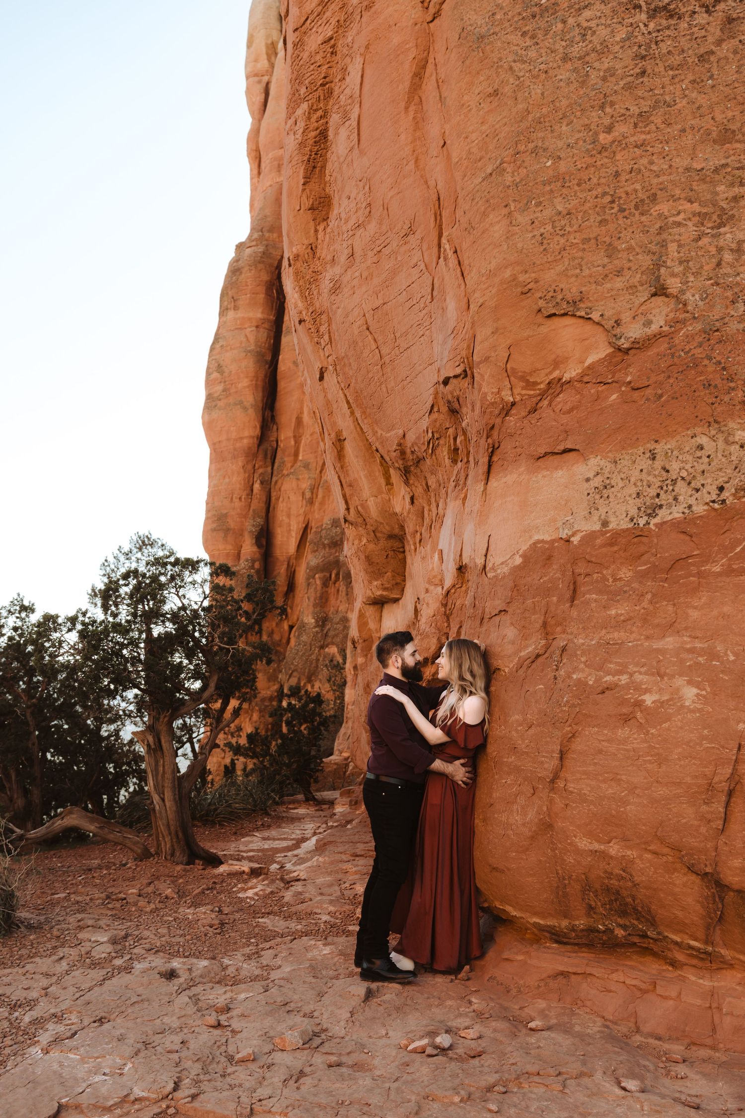
Secret Slickrock
Location: Chavez Crossing Rd, Sedona, AZ 86336
Entry fee: None, about 10-12 spaces for parking at trailhead
Just a quick, flat hike from the trailhead, this spot is one of the best for views of Cathedral Rock with equally amazing 360 views on the vista. This is often a popular spot to watch the sunset, so weekday access is encouraged.


West Fork Trail
Location: W Fork Trail, Sedona, AZ 86336
Entry: $12 per vehicle
This spot is also best on weekdays, with a small parking lot that fills fast Friday-Sunday. This area is full of trees, a stream, and canyon walls. It's best accessed in the earlier afternoon as sun doesn't reach inside the canyon as it sets. This hike is easy and flat, with only a couple of potential areas for wet feet/stream crossing. The entire hike takes over two hours, but great views are possible straight from the trailhead, easy to walk as far in as comfortable and back.


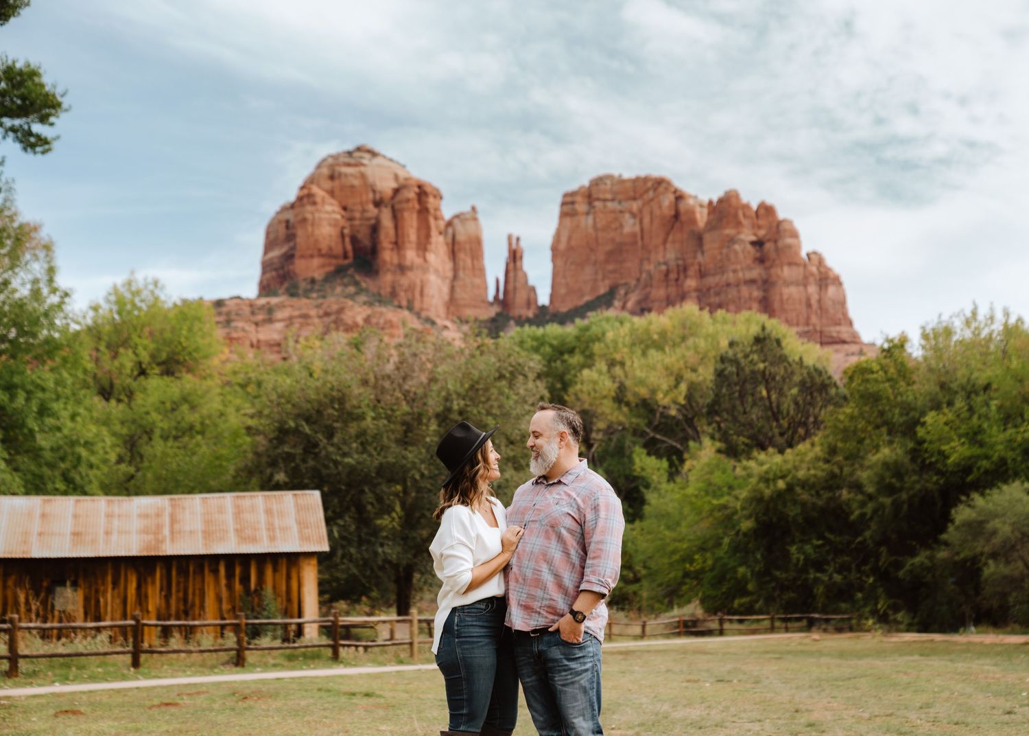
Cathedral Rock
Location: 500 Back O Beyond Rd, Sedona, AZ 86336
Entry: $5 per vehicle (Red Rocks Pass)
This is easily one of the most popular, extensive hikes in all of Sedona! With an elevation gain of over 800 feet, you end up with absolutely stunning views the entire climb — not recommended if you have a fear of heights. Real hiking shoes are recommended, as well as the ability to scramble (use your hands as well as your feet) in some spots. Leave about 30-45 minutes to climb to the very top/vortex, while there are many spots to stop along the way. There will be many other hikers here, but as long as you're okay with sharing the space, it's well worth the adventure! I don't typically pair this climb with any other locations during my sessions, just to make sure you have enough time and energy to enjoy.
In true Sedona fashion, this parking lot is small and fills quickly, so definitely utilize the park and ride with the Sedona Shuttle Thursday-Sunday.
These photos were taken at sunrise due to the couple's limited time in town, but I vastly prefer sunset for lighting (we get a bigger window and softer light!). Be prepared to hike in the dark on the way back down.


